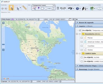
MARPLOT is the mapping program for the CAMEO software suite, which is used widely to plan for and respond to chemical emergencies. MARPLOT’s easy-to-use GIS interface allows you to add objects to a map, as well as view and edit data associated with the objects. You can choose between several background basemap images, and you can customize your map further with annotations and online layers from Web Mapping Services.
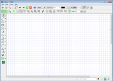
Is a drawing program with the ability to manipulate paint objects and add icons


Comments