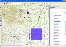
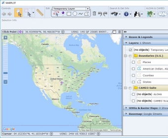
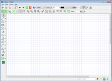
MARPLOT (Mapping Application for Response, Planning, and Local Operational Tasks) is a general purpose mapping application program with the following features:
- Easy-to-use GIS interface
- Ability to add objects (such as schools or chemical facilities) to the map and mark them using MARPLOT's set of symbols or an inserted picture
- Allows you to customize the maps by specifying which layers appear and whether objects in those layers (such as roads) are labeled
- Simple, all-inclusive search mechanism for map objects.
Is a drawing program with the ability to manipulate paint objects and add icons


Comments